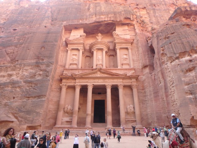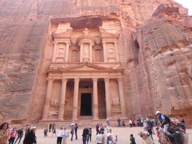
the Treasury at Petra
Many people who have never heard of Petra have actually seen a glimpse of this wondrous archeological site. The façade of the temple known as the treasury was featured in Indiana Jones and the Last Crusade. Yes that building carved in stone is a real place. And that real place is called Petra and it is in Jordan.
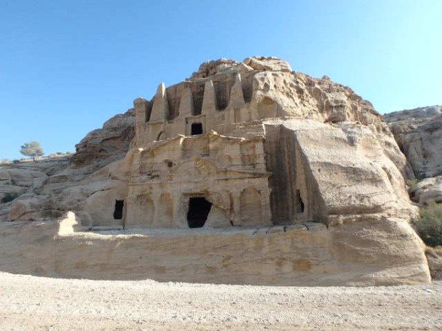
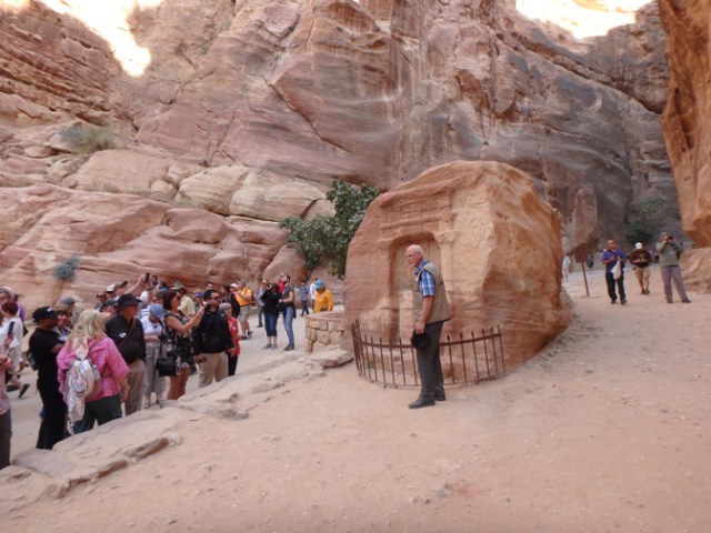
some structures like this one are seen before you even get to the siq
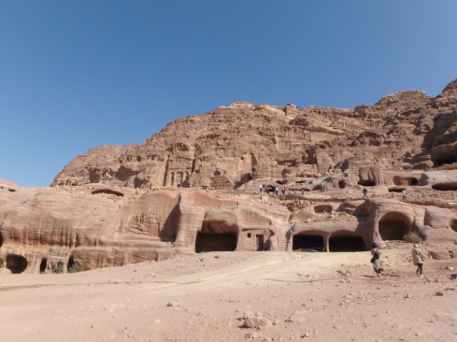
Petra has many buildings carved into the stone cliffs, not just the one. It’s an ancient city dating back to long before the birth of Christ. Though it’s not known exactly when Petra was built, evidence of human settlement in the area dates back 10,000 years. Petra was once a major trading hub inhabited by its builders, the Nabateans. It was a stop on the silk road where desert-weary travelers could do some trading while getting rested and refreshed in the manmade oasis of Petra before continuing on their desert journey.
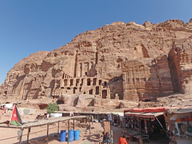
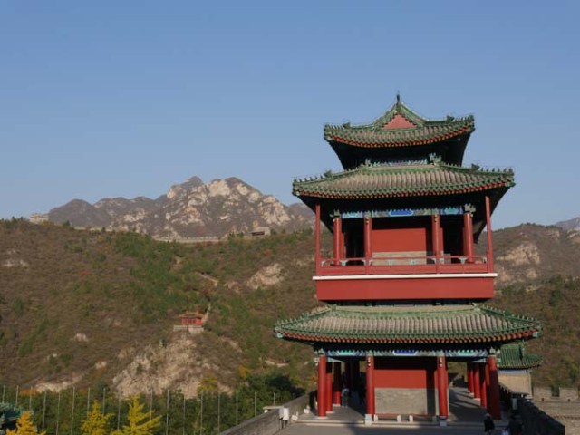
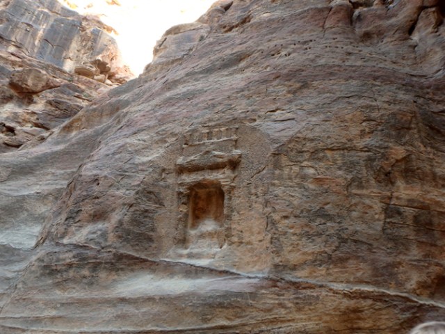
Roman carvings high on a hillside
Some of the structures in Petra were built by the Romans, who invaded in 106 AD and ruled Petra until an earthquake in 363 AD destroyed many of its structures including the all-important water management system. Byzantines eventually took control of the region, but by the 8th century Petra was largely abandoned. Sea routes replaced it for trading and the city declined and was forgotten by all but a few nomads until it was rediscovered in 1812.
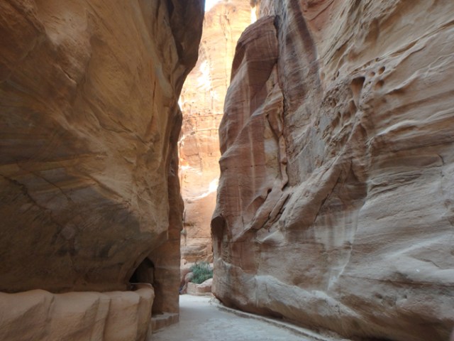
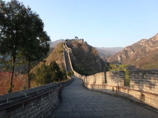
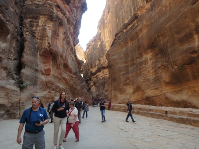
the siq is a long trail through rock cliffs
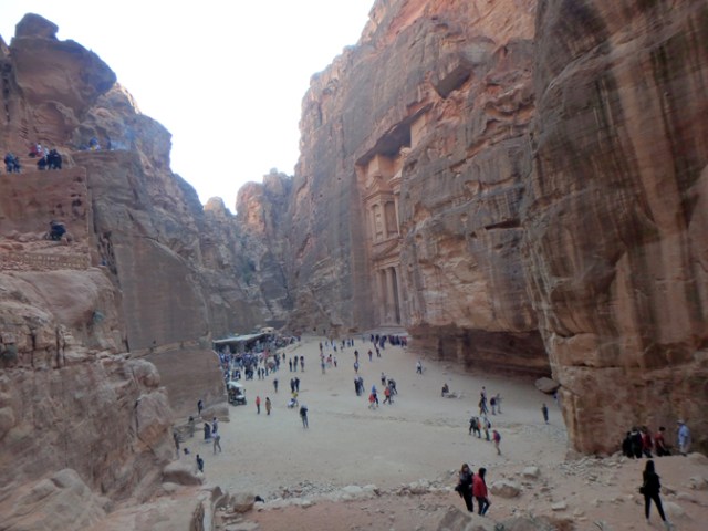
Petra’s main entrance follows a 1.2k narrow winding opening between cliffs through a gorge called Al Siq. Petra is a Unesco world heritage site and the most visited place in Jordan. Besides the rock-carved architecture, Petra’s water conduit system was also an ancient marvel. The Nabateans used a system of dams, cisterns, and aqua ducts to store and transport water from occasional flash floods to supplement the perennial stream allowing the desert city to flourish in an artificial oasis. In addition to the buildings carved into the rock face of the sandstone cliffs they also had some free-standing buildings made of rock.
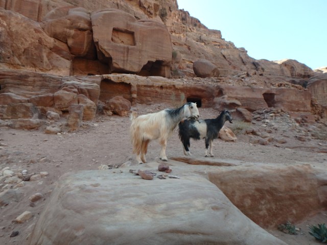
goats in Petra
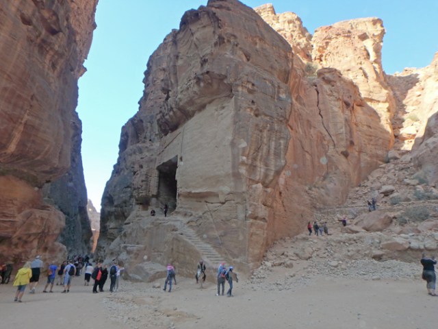
The name Petra comes from the Greek word Petros, meaning rocks, an appropriate name for a city carved into the sides of rock cliffs. It is also known as Al-Batra in Arabic. Petra became a UNESCO world heritage site in 1985 and one of the 7 wonders of the world in 2005, a fitting designation for it truly is a wonder. The Siq entrance is a narrow passage worn through sandstone from years of wind and rain. The Treasury is the first thing you see after passing through the Siq, and is one of the most impressive buildings in all of Petra.

donkey in front of what looked like poor people’s apartments
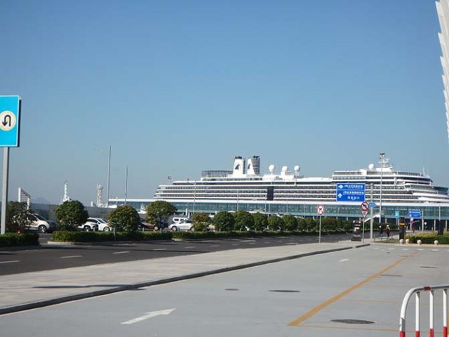
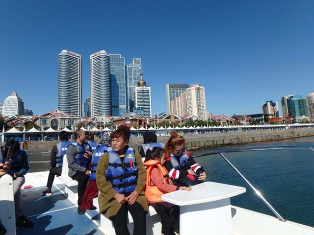
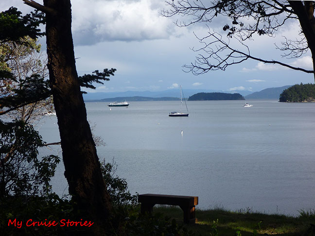
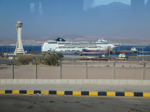
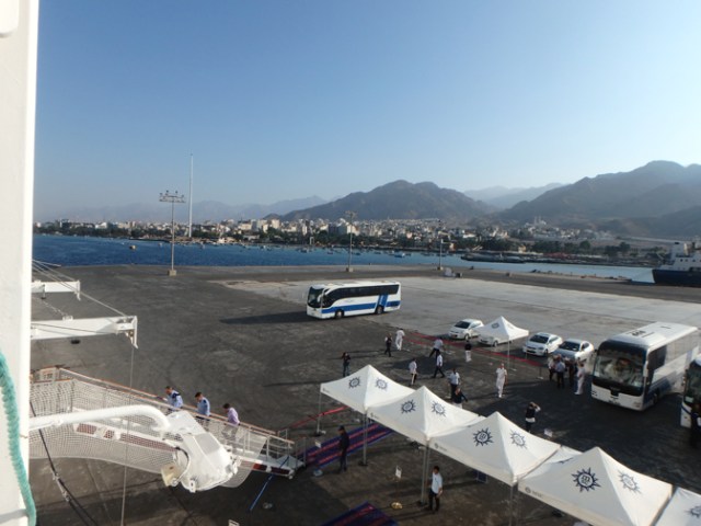
A chance to see Petra was the main reason we booked our cruise on the MSC Lirica, which had a port stop in Aqaba so we booked the excursion shortly after booking the cruise. For sights that are a distance away from the ship, booking through them insures that if you return late the ship will wait for you as it has to wait for its own excursions to return before it leaves. Getting there on your own carries no such guarantee and the ship will leave without you if you don’t make it back on time.

lots of people rode donkeys in Petra
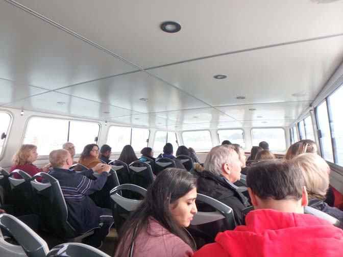
On most ships if you get to the meeting area early you get on the first bus for that excursion, whereas if you get there at the time it says you end up on the straggler’s bus. We went down about 45 minutes early and were told not to come until the time on the card, but they let us in at 10 minutes early only to find that several busses for that excursion were already full so we did not end up on the first bus, or even the second. From past experience we’ve found that the earlier you are in the bus line up the more likely you are to get a good guide, and the farther down you are the likelihood of a bad guide increases. Besides the fact that the busses that are filled first leave first so they sometimes have more time to spend at the excursion destination. Not always though. Sometimes they just return sooner.
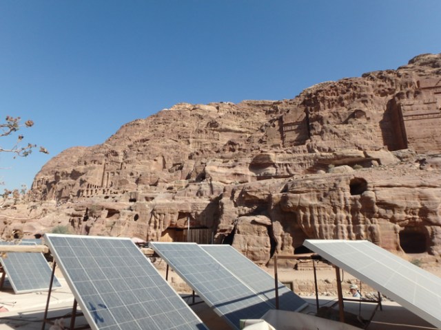
ancient and modern – solar panels and rock carvings
Our guide gave us a lot of good information about Aqaba, Jordan, and Petra on the 2+ hour bus ride there and back, but said he was taking the group through the Siq and to the treasury and from there people could either go back or explore on their own down as far as the theater before heading back. The excursion description had said it was to go to several different locations within Petra. He said besides the packed lunch we were to pick up that afternoon on our way out that our excursion also included the option to ride a horse down from the entry gate to the Siq without paying extra other than a tip. Taking a horse carriage into Petra on the other hand would cost extra as that was not included in the price of our tour.
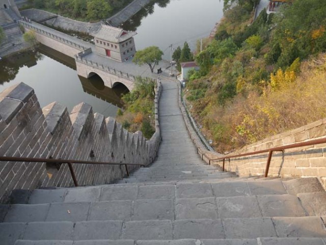
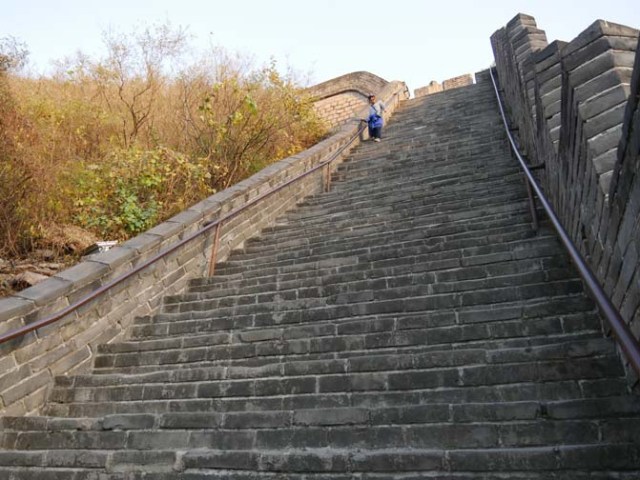
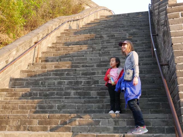
rock stairway
On the bus our guide explained several times what to do and where to go when we got off, but even so just as we got through the entry a panicked women said her friend had gotten lost and not made it inside. Rather than spend our already limited time standing at the entry waiting for people who can’t follow directions we left the group and went ahead on our own, which the guide had said was fine for people to do if they would rather explore on their own than take a guided tour. He had thoroughly explained when and where to pick up the lunches before going back to the bus, which he had also explained where to find and when everyone needed to return by.
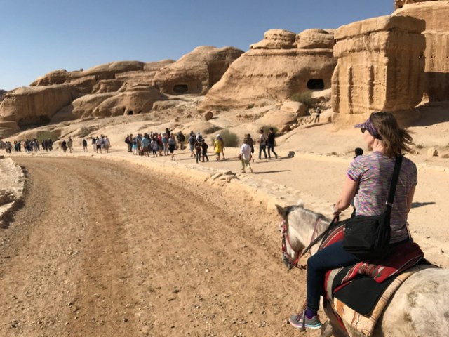
riding a horse from the entry gate down to the siq
We had intended to go with the flow of whatever the rest of the group did as to whether to walk down or ride a horse, but since we bailed on the tour before even getting to the horses we went ahead and rode them, though when 3 of the horse guys were fighting over which of their horses I should ride I was going to not ride any until John told them I was with him. Then all but the first guy who was not even one of the 3 left.
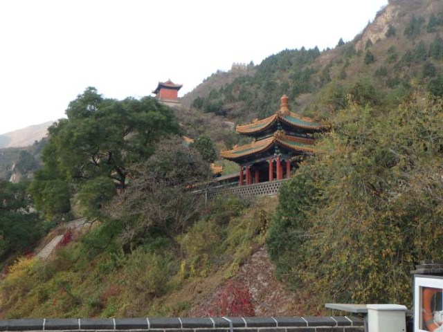
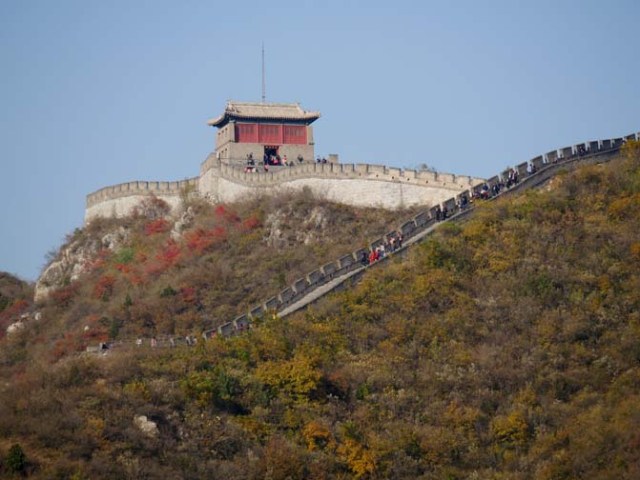
hillside with older carvings at the bottom and Roman ones on top
The horse guy thought I was changing my mind because I was afraid to ride the horse so I told him I used to have horses, but had not rode one recently. It was not the horses that bothered me, but rather all the people fighting over whose horse to ride. I ended up with a scruffy little horse and John got a bit bigger and much nicer looking one. Some of the horses there had the classic Arabian horse look and others not so much. Whether they were just poor examples of the breed or something else entirely I couldn’t say.
in the siq
After we got to the bottom of the hill the horse guys said we could run them back up it and then come back down, but we only went a little way for just a short canter and then back down because we were there to see Petra, not to go horseback riding and didn’t want to take the time to come all the way back down again.
excursion group in the siq
As we walked through the siq we passed by quite a few excursion groups who had arrived there before ours. They stopped to listen to a spiel about this formation or that carving in the rock frequently along the way. Probably interesting information that most people would remember as long as it took to get to the next thing and not much longer than that.
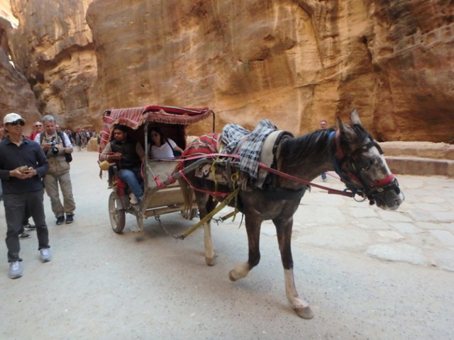
horse carriage in the siq
We took a lot of photos on the long walk in. Often along the way you have to move aside as a horse carriage comes thundering through. For an extra cost people can take a carriage ride through the Siq, which also includes a return trip. I felt sorry for the horses pulling the carriages as they were going way too fast for hard ground as well as too fast for horses going downhill on the way in. The ones we saw on the way out were quite sweaty from working so hard all day in the desert heat.
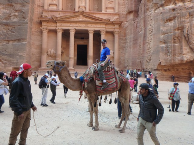
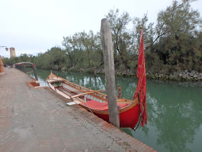
John on a camel at Petra
John wanted a photo on a camel in front of the Treasury, and there was one right there when we arrived so he did that first thing. They do offer camel rides, but he just wanted the photo. The camel didn’t seem to think that was enough though as it tried to get up again when it was only halfway down to let him off. If we’d had a lot of time to spend there a camel ride would have been fun, but we wanted to spend what little time we had seeing as much of Petra as we could. There were lots of animals in Petra. Besides the horses and camels there were also donkeys – some loose, some tied, and some giving rides. We also saw cats, dogs, and goats wandering freely.
Most of the openings into walls and stairways carved into the cliffside are off limits, but there are a few stairways you can climb and doorways you can peek into. Looking in doesn’t give any idea of how big the space inside once was though because they are currently full of sand accumulated over the centuries.
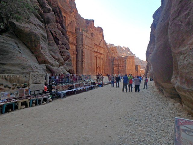
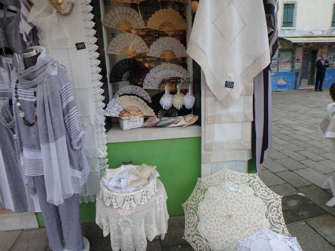
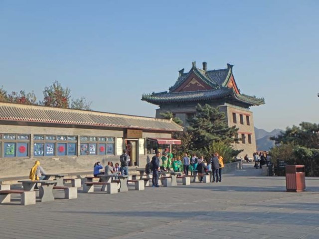
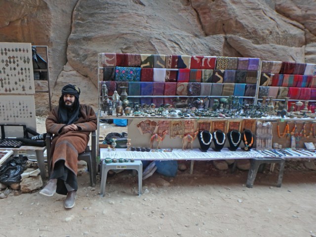
vendors line the walkway in Petra
Besides animals, Petra is full of vendors selling all sorts of trinkets. In spite of the commercialization, the site is still awesome. It’s not actual stores, just makeshift stands and local people trying to make a living.
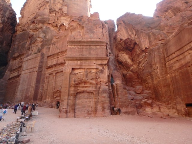
corner building in Petra
Petra is a huge site with many sections, far more than could be seen in the few hours available on a cruise ship port stop. We went down to the end of the first section. We could see that there were more buildings not too far down the road, but didn’t really have time to go much farther and still get back to the bus on time. We had already gone well beyond the theater, but since we bailed on the group early on we had a lot more time to explore.
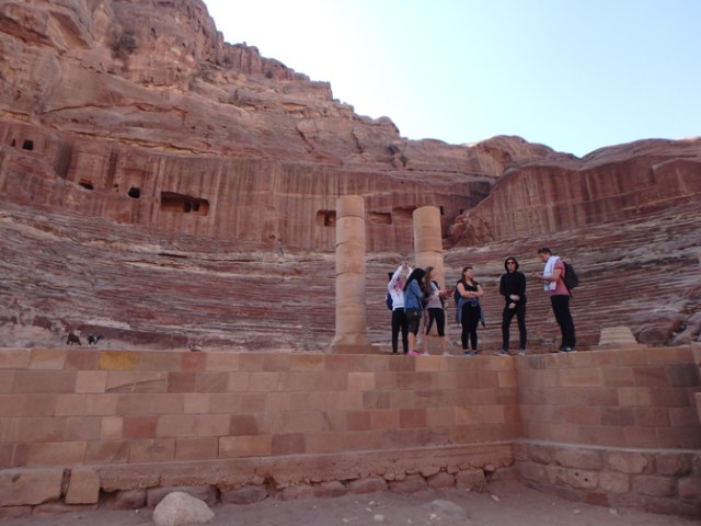
ruins of the Roman theater at Petra
Some of the additions built during Roman times were in the area at or near the end of the first section of buildings. The theater was at the closer end of that area to the Siq. At the far end of that section there was a place with Roman architecture high up on the cliff that people could go into. We went about halfway up the hillside to that one. I’d have liked to go all the way up and inside it, but John was worried about the time so we didn’t. We ended up making it back up to the Treasury area with time to spare. We could see smoke from a little fire and some people high on a ledge on the cliff opposite the treasury.
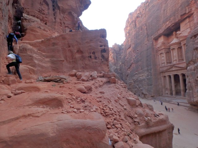
mountain goat trail up the rock
We decided to to climb the rock and see what all the people up there were doing. The trail there is part climbing over rocks and part what looks like an extremely narrow mountain goat trail. Some of the rock areas were almost like steps. It looked more like natural formations than an actual carved stairway in that location, though there were places in Petra with carved stairways. One of the ledges had a cat on it.
view from the start of the trail up the cliff across from the treasury
There were a lot of people coming down the narrow goat trail bit so we had to wait until they all passed by as only one person at a time could go either up or down there. Partway up there’s a fairly large ledge and lookout area with a nice view of the treasury and surrounding area, but for the best view you have to go all the way up to the highest ledge.
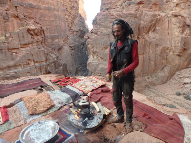
guy on the ledge making tea
That’s where the smoke was, a little old guy making Bedoin tea. He had a sign saying it cost $1 to come up to that ledge. The view was well worth the dollar, and he’d give anyone who wanted it a little cup of tea. Sweeter than the tea I normally drink, but delicious. He had rugs spread around the ledge and some cushions to sit on. The view from up there was amazing. There was a triangular split in the ledge where you could look down and see a camel in the exact same spot where we saw the one when we first came in. Everything about Petra is amazing, but going up to that spot was the highlight of the day.
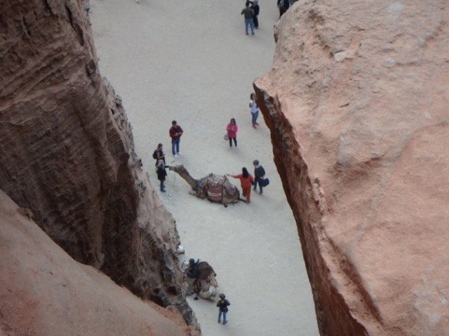
looking through the crack in the ledge to camels down below
You do have to watch out for that large split in the rock though. John nearly fell through it backing up while looking at his phone screen trying to get the perfect picture. Luckily he stopped when I warned him when it looked like he hadn’t noticed the hole – and he hadn’t.
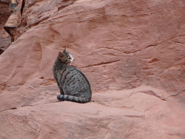
there was a cat on a ledge partway up the cliff
We made it back to the gate and up to the Cave Bar restaurant in time to pick up our lunches and eat there rather than taking them on the bus. Finding a seat wasn’t easy though because they were all full of other people on that excursion from any number of busses who had gotten there before we did. Everyone made it back to the bus on time, and only a couple of them hadn’t eaten before getting on the bus. One pair of people said they had gotten back way early and gone to the wrong place and ended up on a city bus into the nearest town, which has changed its name to Petra, but they made it back in time and eventually found the right bus (which was exactly where the guide said it would be.)
vendor at Petra
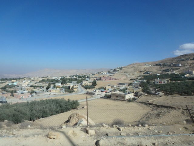
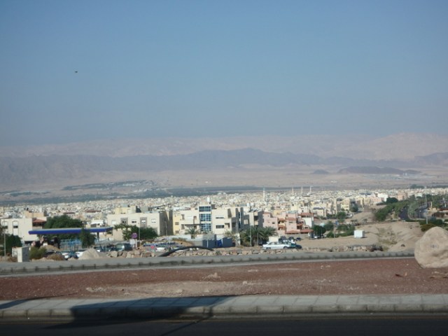
There are hotels right at Petra, but as we passed through the town that changed its name to Petra the guide did mention it having no unemployment and lots of hotels so likely people who google Petra and think they are getting a hotel right near the site end up in that town, which could easily be the reason they changed its name in the first place.
carving in the siq
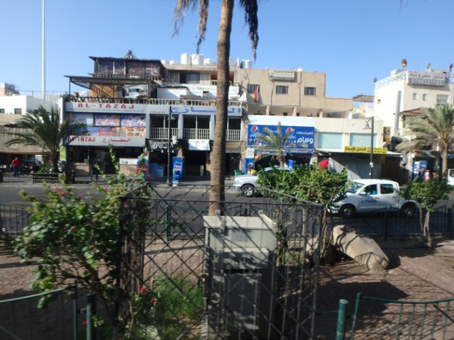
On the way there and back the bus made pit stops at two different places that had stores as well as restrooms. Some of the trinkets in the stores were the same sort of things people had in Petra, but they also had a lot more. The most interesting thing I saw were little bottles of sand, which doesn’t sound like much except that the sand was different colors that made a picture as well as saying something like Jordan or Petra, or in the store on the way back that was near Wadi Rum some also said Wadi Rum.

living on the edge
The only bad thing about our trip to Petra was that we didn’t have enough time to explore the whole site, something that could never be done in just a few hours or even just a day. I’d love to go back again someday and stay long enough to explore the whole site.
Copyright My Cruise Stories 2021