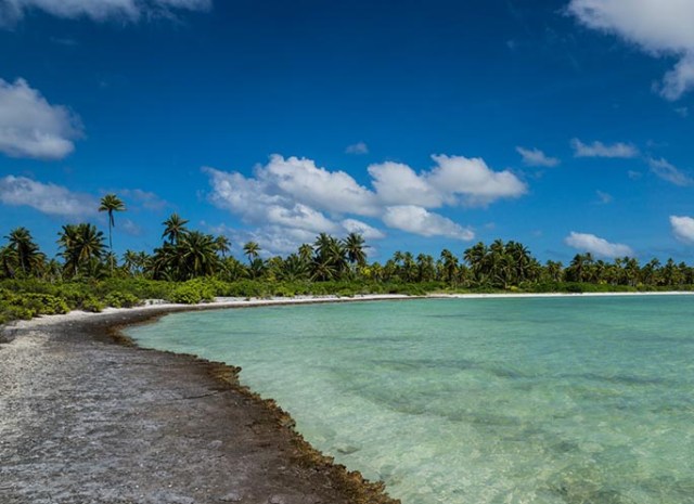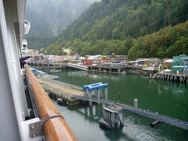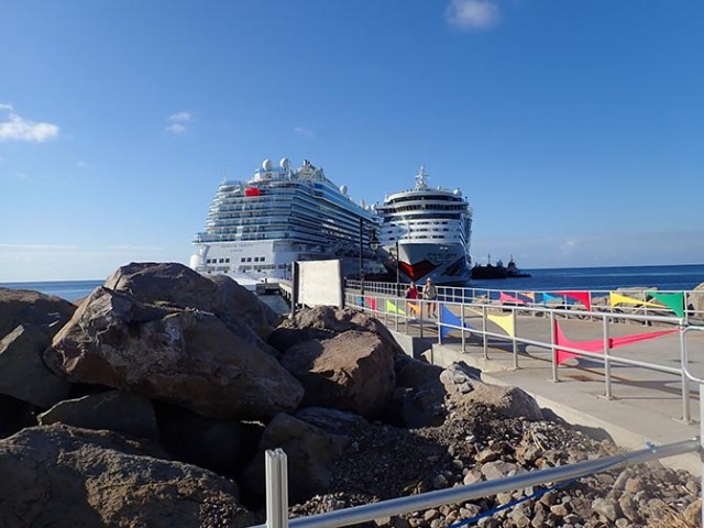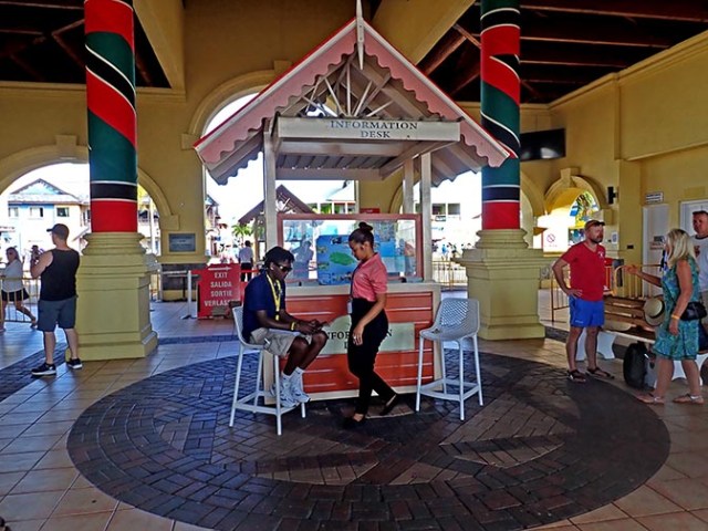

Enchanted Princess in Grand Turk
The main theater on Enchanted Princess has no balcony like most cruise ship theaters. The seating nearest the stage has no slope to it so if you are down near the front, but not in the very front the view is mostly the backs of other people’s heads. If you are off to the side at the front you can only see a small part of the stage and none of the background screen. If you are front and center the stage is quite a lot higher than your view so you still don’t see everything.
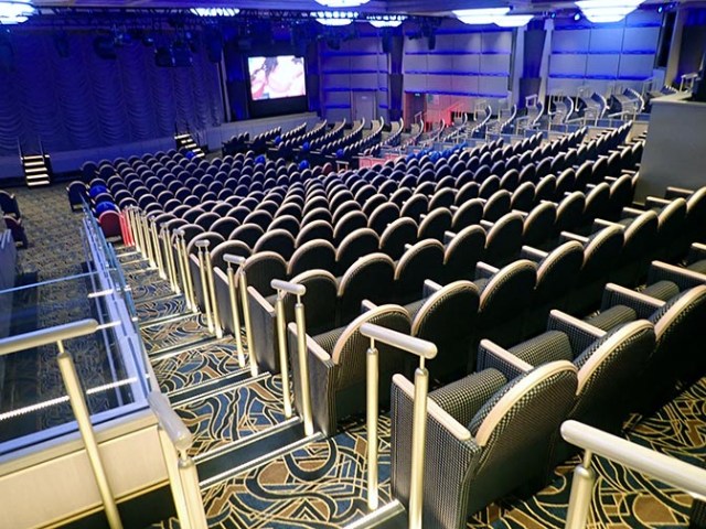
theater on Enchanted Princess
Up higher there are better seats, but there are some on the sides, especially near the back that you don’t see much from either – especially if the person in front of you is taller than you are (which is more people than not for me.) There is a section of prime seats reserved for suite people that opens up to everybody else 5 minutes before the show starts so if you happen to be there right when they open that section you get a really good seat. They pretty much fill as soon as they open though so you have to time it just right. We only got seats there a couple times. The other way to get good seats is to come way early before the non-reserved seats in the best viewing area fill up.

acrobat show
The first night’s show was a comedy/acrobat show with a husband and wife team. They were fairly entertaining for a cruise ship show and had some pretty good tricks, especially near the end when it was pretty much all acrobatics.
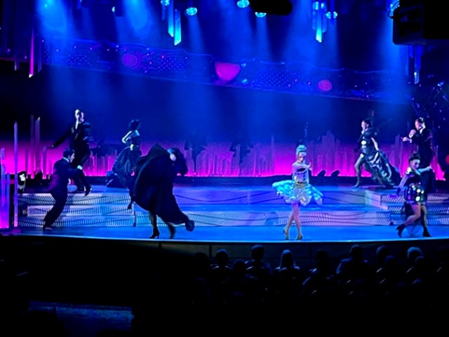
rock opera show
The second night was a rock opera, which was pretty good other than some bits that were more opera than rock. More rock than opera would definitely have been preferable -at least in my opinion. Also in one number the cast all had giant masks on sticks which lit up with bright white light. When they faced the audience it was like driving down the road toward a bunch of oncoming cars with their brights on. It’s usually the spotlights at those shows that sometimes shine blindingly bright out into the audience and seem to find you no matter where you sit rather than part of the actual show.

Brian Cheatham
The third day’s performer was Bryan Cheatham from America’s Got Talent. He was part singer, part comedian. He had a good voice.
Spotlight Bar production show in the theater
There were several production shows with the ship’s cast of singers and dancers.

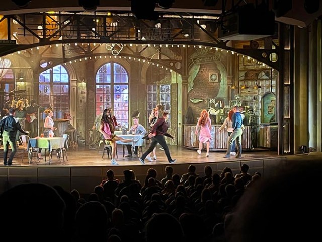
5 Skies show
The last production show we saw was called 5 Skies. It had a lot of special effects depicting being inside a video game with the hero of the game working his way up the levels to save the Sky Princess, which in this case was a person and not the ship named Sky Princess. Having good seats where we could see the whole stage as well as the two side screens really made this show as we could see all of the video enhancements from there. We had to get there nearly an hour early to get those seats, but that show would not have been nearly as good if you couldn’t see the whole thing.
production show
One night they had a magic show. We got there barely before the show started that night and ended up in the back and off to the side. The rest of the group I was with actually saw the show, but I had a very bad seat with a post and a tall person blocking my view. Magic shows aren’t very impressive if you can’t see anything. He did a few tricks in the variety show at the end of that cruise, which were much better from my perspective because I had a seat where I could actually see the stage that time. Still not a good enough seat to get any photos though.

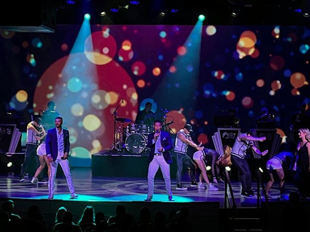
Benny and the Rest Elton John tribute show
Other shows included various musicians, some doing their own thing and some tributes to more famous people like Whitney Houston and Elton John. The Elton John group was called Benny and the Rest. Of course the first song they played was Benny and the Jetts. On the last night they had a variety show with short bits from whatever guest performers were still onboard as well as from the production cast. At least with music it’s mainly about what you hear rather than what you see so it’s not as bad if you have crappy seats for that as it is for some of the other shows.
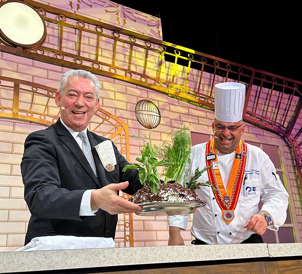
chef show
One afternoon they had a comedy cooking show with the chef and Matre’d. After making spaghetti together the chef seriously made a black forest cake of the sort people would actually want to eat while the cake the Matre’d made in comedic fashion did not look so appealing. Possibly to alcoholics considering the amount he poured on it. The show ended with a galley tour, which involved a whole crowd of people walking across the ship from the theater on one end to the galley nearly to the other.

Yes or No game show at Princess Live
There are shows in other areas of the ship sometimes too. Game shows like Deal or no Deal, crew demonstrations, or comedy. Show venues other than the main theater include Princess Live, the Vista Lounge, and the Piazza, which is the central area of the ship at the bottom of the fancy stairs.

comedian
We saw a comedian in the Vista Lounge, who was better than average as cruise ship comedians go. His show was mostly prepared jokes with very little picking on people in the audience and no x-rated jokes or swearing. Sometimes there are comedians who spend the whole time picking on the audience, or whose entire show is a nonstop stream of swear words or body parts without anything actually funny at all. A comedian on a different ship even ran off the stage and assaulted a person who tried to leave the show early. The comedians on the second leg of our back-to-back cruise were even better than the ones on the first round. The last one was the best of all even though we had crummy seats and more heard than saw his performance. I don’t remember his name, but he did a different show in a different outfit for each of his 3 performances that night and most people stayed for at least 2 of them.
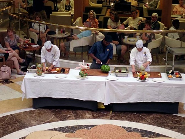
vegetable carving demonstration
One day in the piazza they had a demonstration with 3 talented galley crew making creations out of fruit and vegetables. One said his was a koala, but it looked more like an ewok from the Star Wars movie. Another made a tropical bird, which looked like it would be a cockatoo until he rubbed it with beet juice or something to make it somewhat pink, after which it looked more like a galah – a big pink bird of the parrot family native to Australia. The other one had a pair of what we thought were ducks, but she said they were love birds.
There was also live music in various venues around the ship in the evenings.